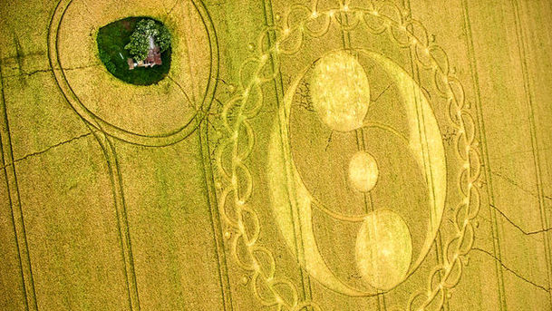
Britain from Above - The Land

Turning back time and drawing on previously unseen archive footage and photography to focus on the dramatic transformation of Britain's cities, landscape and industry. Focusing on the period since the Second World War, Britain from Above explores the greatest period of change in the nation in the last 200 years. Nowhere shows the transformation that has swept the British countryside in the last 60 years more than East Anglia. Aerial photographs taken by both the RAF and the Luftwaffe before the war show an isolated rural landscape of small fields, hordes of labourers and horse drawn ploughs. But all that changed. Sparked by the war itself, East Anglia became the crucible of a land revolution as its agriculture was industrialised faster and on a larger scale than anywhere else. Today hedgerows, horses and farm workers have all gone. While the number of people working on the land has collapsed, rural villages have grown, bursting through their old boundaries as commuters arrive. New roads and new employers such as Stansted Airport have heated up an already fast growing economy and the impact on the landscape can be clearly seen from above. Using hitherto unseen land-use maps of the 1930s, together with wartime aerial reconnaissance photos, the programme reveals how and why East Anglia, and by extension Britain's rural landscape, has been shaped the way it has. Today we see a landscape under ever greater pressure from new housing, crowded roads and the sudden surge in food prices which makes farmland ever more valuable.